
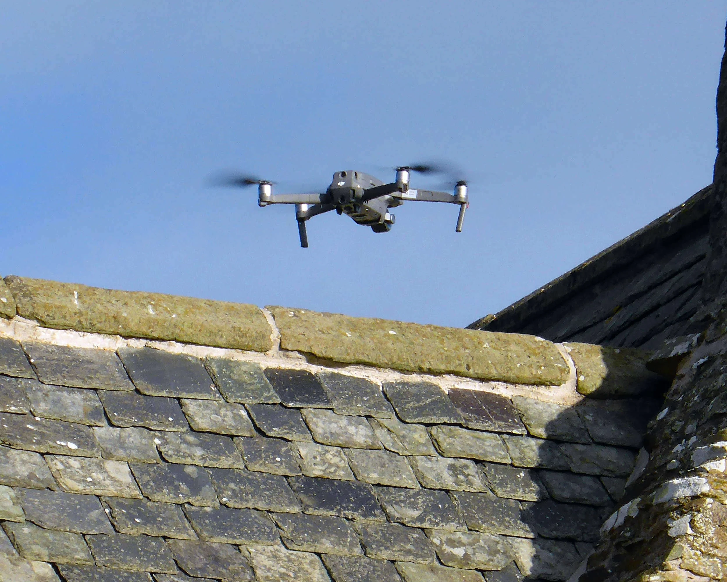
Drone Roof Surveys

Professional drone surveys across Central Scotland delivered by experienced RICS Surveyors
Clear Insights You Can Trust
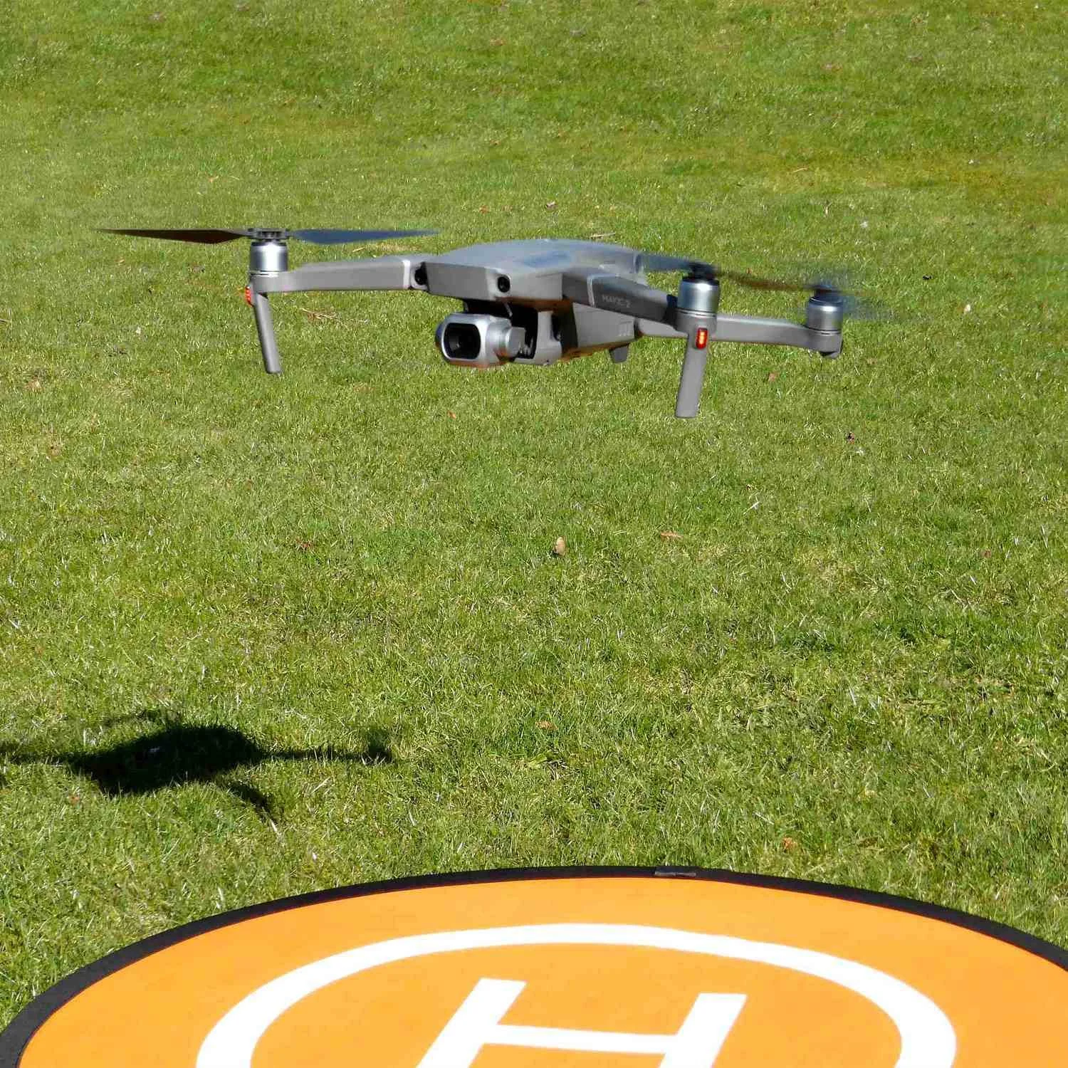
High resolution Images
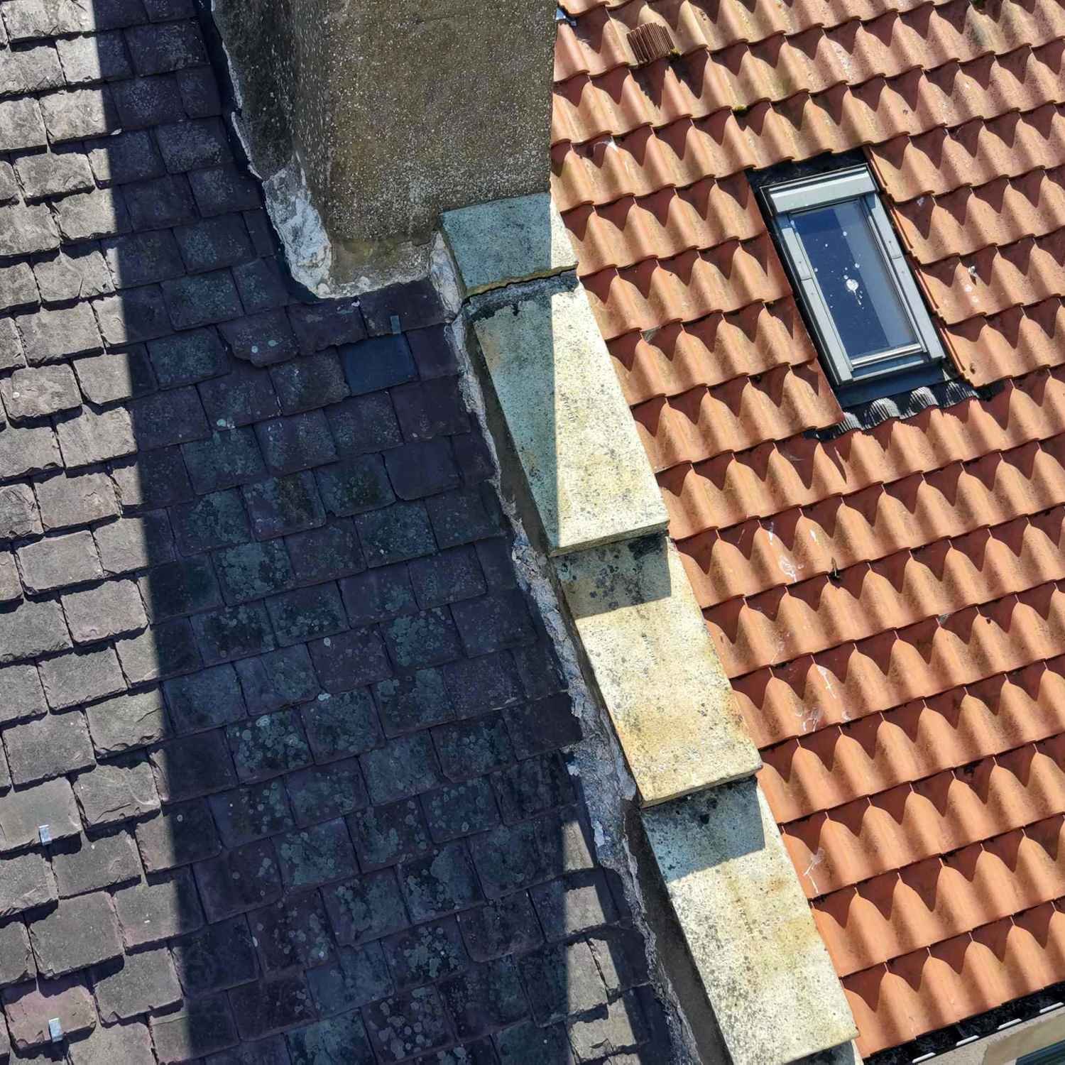
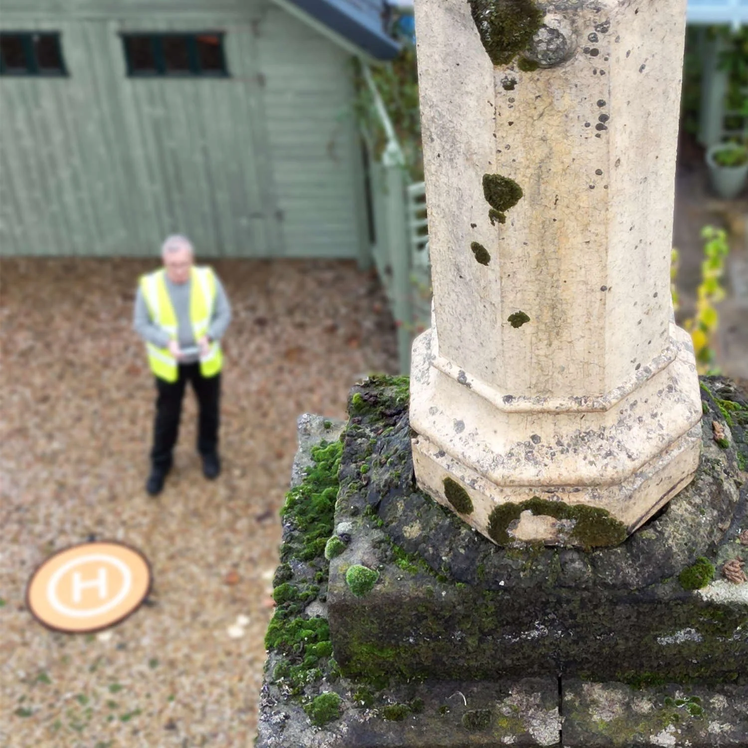
Our drones capture detailed aerial photographs and crystal-clear 4K video footage of roofs, chimneys, gutters, flashings and other elevated building elements that are often difficult, costly or unsafe to inspect using traditional access methods.
The high level of detail enables a closer examination of roof coverings, masonry, leadwork and rainwater goods, helping to identify signs of damage, deterioration and maintenance defects at an early stage. The resulting imagery also provides a comprehensive visual record of the property's condition, which can be retained for future reference and comparison.

Comprehensive digital reporting
You will receive a professionally prepared digital report that presents findings in a clear, organised and easy to understand format. Key observations are supported by annotated photographs, aerial imagery and explanatory commentary, allowing areas of concern to be quickly identified and understood.
By combining visual evidence with expert analysis, the report provides a clearer picture of the condition of high level building elements and any defects requiring further consideration.
Prioritised expert guidance
Benefit from practical, surveyor led advice that helps you understand the significance of any defects identified during the inspection.
Recommendations clearly distinguish between issues requiring prompt attention and those that can be managed through planned maintenance, enabling a more informed approach to budgeting and property care. This guidance supports confident decision making and helps ensure maintenance resources are directed to the areas of greatest importance.
Certified and Insured
CAA Authorised
Civil Aviation Authority (CAA) PDRA01 Operational Authorisation allows us to operate drones in residential, commercial, industrial, or recreational areas.

Qualified Pilots
GVC and A2CofC certified, demonstrating the skills and qualifications to operate drones safely in higher risk environments, including built up areas.

Fully Insured
Covered for third‑party liability in accordance with EC 785/2004, the legal insurance standard for commercial drone operators in the UK and EU.


Accurate Detailed Inspections
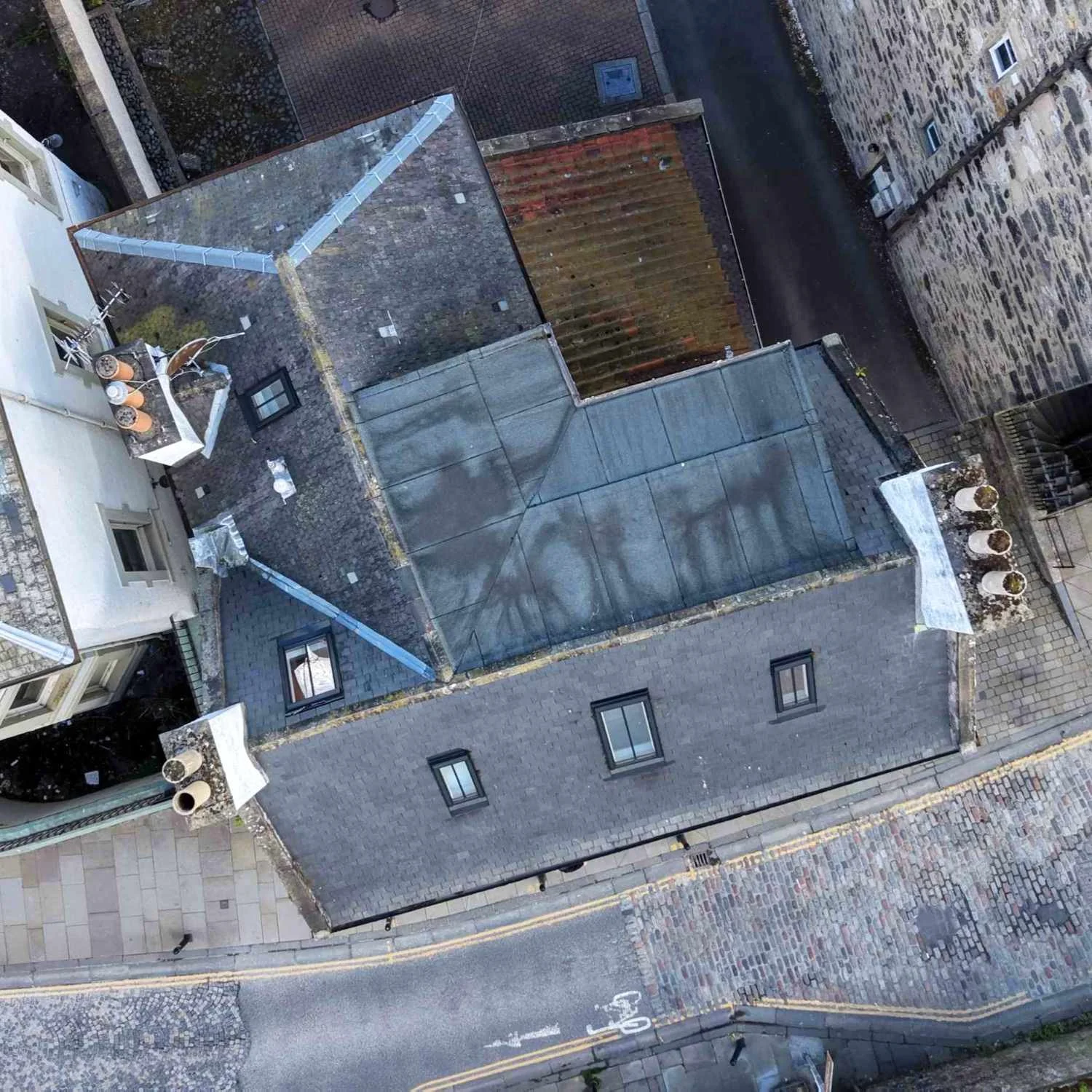
What we inspect
-
Assessing structural stability, masonry condition, pointing deterioration, weather damage, and potential safety concerns.
-
Inspecting roof coverings, structure, drainage, and signs of wear, damage, water ingress, or maintenance requirements.
-
Examining ridges, leadwork and other flashing systems for defects, displacement, deterioration, and water penetration risks.
-
Inspecting rainwater goods for blockages, leaks, corrosion, inadequate falls, and drainage performance issues.
-
Reviewing fascia and soffit boards and associated roofline elements for decay, damage, deterioration, and maintenance needs.
-
Conducting comprehensive assessments of external walls, cladding, masonry, and façade elements to identify defects and maintenance requirements.
-
Have a unique building inspection requirement? Contact us and our experts will provide a tailored solution.
Safe and efficient
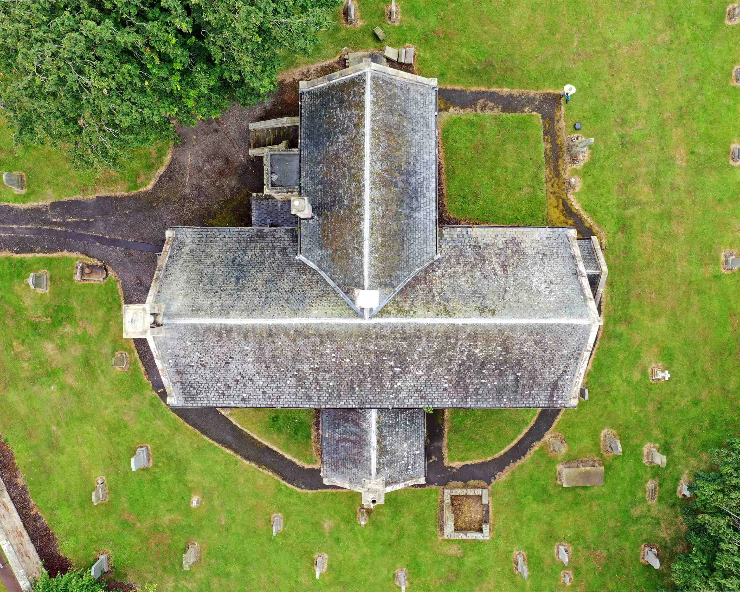
Our drone inspections give you a clear, detailed view of your property without the need for ladders or scaffolding. Using high‑resolution cameras, we capture sharp images and videos of roofs, chimneys and hard to reach areas, helping you see exactly what’s going on.
Every flight is carried out safely and carefully, so you receive accurate information you can trust when planning repairs or making decisions about your property.
“Very detailed and comprehensive report. Well worth the money”
Delivering Genuine Advantages
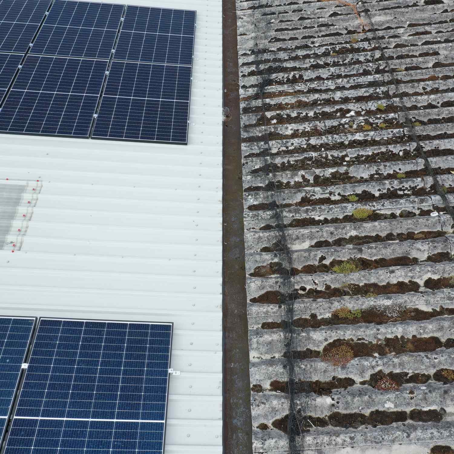
Safer inspections
Inspect roofs and elevated elements without placing surveyors on fragile surfaces, ladders or scaffolding. Keeping people on the ground reduces risk while still delivering a thorough survey.
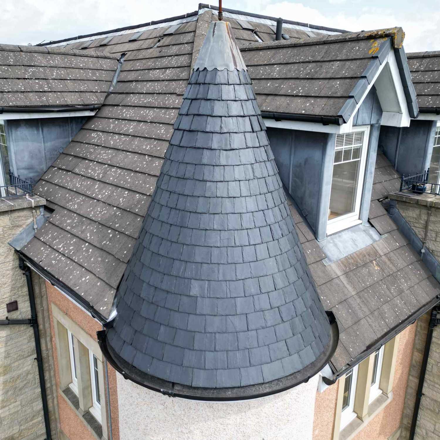
Faster turnaround
Large roof areas and difficult elevations can be surveyed quickly, helping you identify issues sooner and move to maintenance or repair decisions without delay.
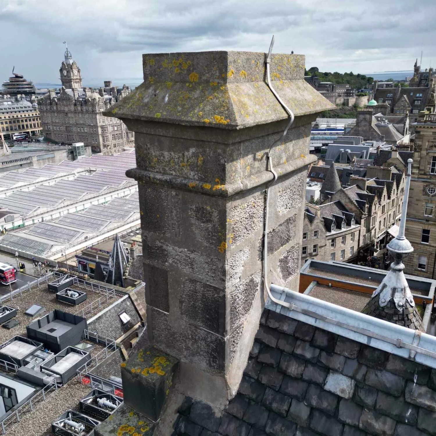
Access to difficult areas
Drones make it easier to inspect steep roofs, tall façades, parapets, chimneys, gutters and other areas that are awkward, fragile or costly to reach using conventional methods.
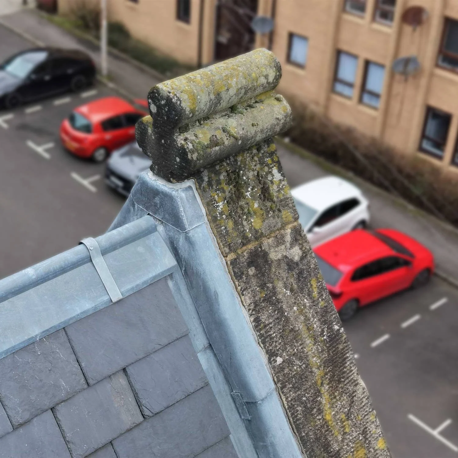
Clear, detailed evidence
High-resolution imagery provides a close-up view of defects such as missing slates, damaged flashings, blocked gutters, and decayed masonry, helping support accurate reporting and decision making.
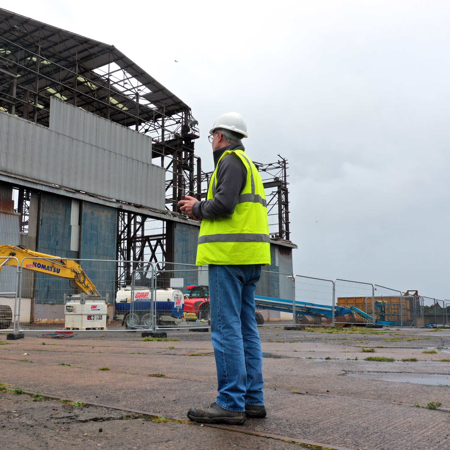
Less disruption on site
Because many surveys can be completed without scaffolding, cherry pickers or lengthy setup, drone inspections can reduce disruption to occupants, visitors and day to day operations.
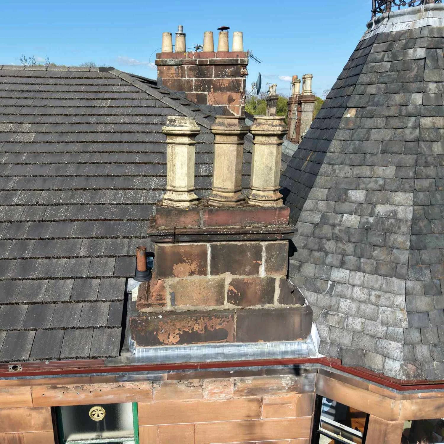
Cost effective
By reducing the need for specialist access equipment and minimising time on site, drone surveys provide a more efficient and economical solution for external condition inspections.
Frequently Asked Questions
-
A drone survey uses a remotely piloted aircraft equipped with a high-resolution camera to inspect roofs, elevations and other hard-to-access areas. It enables detailed images to be captured safely from ground level, helping identify defects that may not be visible during a conventional inspection.
-
The cost of a drone survey depends on several factors, including the size and complexity of the property, the scope of the inspection, site location and reporting requirements. Simple roof inspections are typically less time-intensive than larger commercial buildings or specialist defect investigations. Please contact us for a tailored quotation based on your specific requirements.
-
Drone surveys can be undertaken on residential, commercial, industrial and historic buildings, together with structures such as churches, schools, warehouses and office buildings.
-
Yes. Roof inspections are one of the most common uses for drone technology. Detailed aerial imagery allows roof coverings, ridges, valleys, chimneys, flashings and rainwater goods to be assessed without the need for scaffolding or roof access.
-
In many cases, yes. Drone surveys can significantly reduce the need for working at height and can often provide detailed inspection information without the risks associated with ladders, roof access or other temporary access equipment.
-
A drone survey can often provide the information needed to diagnose defects and assess condition without the immediate expense of scaffolding. However, physical access may still be required where intrusive investigation, testing or repair works are necessary.
-
Yes. Drone technology can be used to supplement a building survey by providing detailed inspection of roofs, chimneys and other inaccessible areas, allowing a more comprehensive assessment of the property.
-
Drone surveys can be undertaken on a wide range of properties and structures, including houses, flats, commercial buildings, industrial premises, schools, churches and historic buildings.
-
In most cases, no action is required by the property owner beyond granting access to the site. Flight planning, safety assessments and compliance with applicable aviation regulations are undertaken as part of the survey process.
-
No. Drone operations are dependent on suitable weather conditions. Strong winds, heavy rain, fog or poor visibility may affect flight safety and may require the survey to be rescheduled.
-
Yes. High-resolution photographs are provided to illustrate the condition of the building and any identified defects. Annotated images can also be included where appropriate.
-
Most residential drone surveys can be completed within one to two hours, although larger or more complex properties may require additional time.
-
Survey findings and photographs are typically issued within a few working days, depending on the scope of the instruction and reporting requirements.
-
Yes. A drone survey can provide valuable additional information about the condition of roofs, chimneys and other inaccessible areas, helping purchasers make a more informed decision before committing to a purchase.
-
Drone surveys provide a safe, efficient and cost-effective means of inspecting buildings and structures. They offer access to areas that are difficult to view from ground level while providing high-quality imagery to support condition assessments, defect diagnosis and maintenance planning.